Viet Nam drafts remote sensing decree to boost data use
Viet Nam is developing a draft decree on remote sensing to establish a coherent legal framework, strengthen management and enhance data use to support the country’s digital transformation.
On March 27 in Ha Noi, Deputy Minister of Agriculture and Environment Nguyen Thi Phuong Hoa chaired a meeting of the drafting committee on the remote sensing decree.
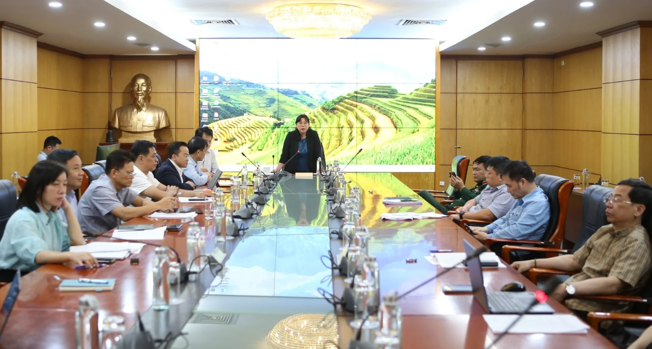
Mr. Tran Tuan Ngoc, Director General of the National Remote Sensing Department, said the decree aims to complete the legal framework and create a foundation for unified management and effective use of remote sensing data. It is also expected to support digital transformation and unlock greater value from Earth observation data in governance and production.
The draft decree consists of eight chapters and more than 80 articles, covering activities from data acquisition and processing to the use of remote sensing data.
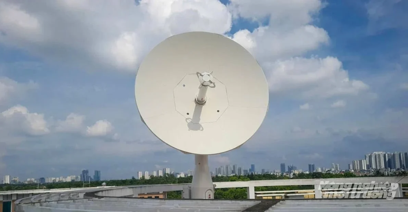
Its scope is designed to cover the entire operational chain, including data acquisition systems; the development and operation of the national remote sensing database; data storage, sharing and utilization; as well as quality management of products used for monitoring the Earth and the atmosphere.
The decree will apply to domestic agencies, organizations and individuals, as well as foreign entities engaged in remote sensing activities in Viet Nam.
Explaining the structure of the document, Mr. Tran Tuan Ngoc said Chapter I sets out general provisions such as scope, subjects of application and operational principles. Chapter II focuses on managing data acquisition systems and sets requirements related to the development of remote sensing satellites, technical infrastructure and operational safety. The following chapters regulate data acquisition activities, the development and operation of the national remote sensing database, and mechanisms for data storage, sharing and use.
Notably, the draft devotes a separate chapter to licensing remote sensing activities. This chapter specifies conditions, procedures and administrative steps, with licenses valid for up to five years and eligible for extension. Provisions on international cooperation are also included. These aim to protect national sovereignty and security while encouraging technology transfer and human resource development. Responsibilities of ministries, sectors and local authorities are clearly defined to strengthen coordination and ensure consistent implementation.
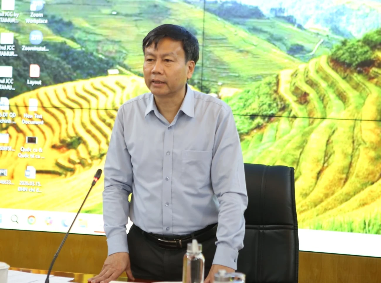
Mr. Tran Tuan Ngoc also said the draft introduces several new policy measures, including stricter licensing conditions and clearer provisions for suspending or revoking licenses in case of violations. It also strengthens requirements for data security and storage infrastructure. In some cases, data systems will be required to be located in Viet Nam, reflecting the country’s focus on protecting data and digital sovereignty.
At the same time, promoting data sharing and building a shared national remote sensing database are seen as important solutions to increase the efficiency of data use.
Members of the drafting committee discussed the draft in detail and proposed several suggestions to improve its provisions and ensure effective implementation.
Representatives of the Ministry of Public Security suggested reviewing and incorporating regulations on the management and operation of remote sensing receiving stations. They also emphasized the need for flexible data access, particularly in situations that require rapid retrieval for specialized tasks. In addition, participants discussed mechanisms for coordination and information sharing among agencies to ensure timely and effective cooperation.
Representatives of the Ministry of National Defense proposed adding provisions to allow real-time data use for defense missions. They also called for clearer definitions of technical terms such as “low altitude” to avoid differing interpretations during implementation.
Meanwhile, representatives from the Viet Nam Department of Survey, Mapping and Geographic Information and the Viet Nam Space Center focused on refining terminology and clarifying the scope of the decree. They emphasized the need for consistency across ministries and sectors regarding remote sensing activities, covering ground-based, airborne, and satellite systems. Standardizing technical terms is also essential to ensure transparency and make the decree easier to implement.
Many participants also suggested clarifying responsibilities for managing data infrastructure, particularly issues related to relocating or dismantling facilities. They also recommended improving provisions on providing data and information in emergency situations related to national defense, security and disasters. Notably, proposals were made to include provisions for monitoring and early warning of climate change and disasters, aiming to enhance the role of remote sensing in forecasting and responding to environmental challenges.
Regarding data utilization, participants emphasized the importance of connecting and sharing remote sensing data with other national databases such as those on land, environment and agriculture. They also recommended reviewing and simplifying regulations on periodic reporting and data provision to ensure practicality and avoid unnecessary administrative procedures.
Concluding the meeting, Deputy Minister Nguyen Thi Phuong Hoa emphasized that finalizing the decree will not only close existing legal gaps but also provide a solid foundation for more effective use of remote sensing data to support governance, decision-making, and sustainable development in the period ahead.
She tasked the National Remote Sensing Department with reviewing and refining the draft decree to ensure its quality before submitting it to the competent authorities for consideration and promulgation.
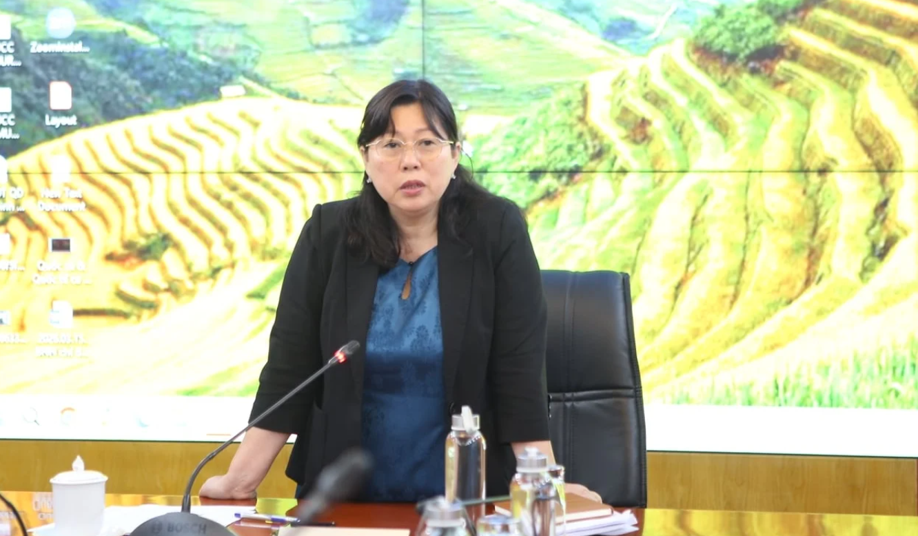
Further clarifying the requirements, the Deputy Minister noted that the decree covers a wide scope, encompassing all remote sensing activities - an area that still lacks consistent and comprehensive legal regulations. The draft must therefore be developed in a unified, clear, and practical way, while addressing new development needs, especially in the context of digital transformation and the increasing demand for data use.
On this basis, she asked the drafting agency to continue improving the document to ensure management covers the full process - from data collection and processing to storage, exploitation, and use. At the same time, the draft decree should ensure that technical infrastructure - such as receiving stations, satellites, unmanned aerial vehicles, and ground equipment - is effectively managed under a unified regulatory framework.
Nguyen Thuy