New technology supports marine weather forecasting
Norwegian experts have introduced OpenGeoWeb and trained Vietnamese forecasters to improve marine weather forecasting and early warnings.
The training took place as part of the 2026 Marine Weather Workshop, jointly organized by the Viet Nam Meteorological and Hydrological Administration (VMHA), under the Ministry of Agriculture and Environment, and the Norwegian Meteorological Institute.
OpenGeoWeb is an online weather forecasting platform jointly developed by agencies from the Netherlands, Finland and Norway since 2020. It enables multiple complex sources of specialized data to be connected, processed and displayed simultaneously through an intuitive interface. This allows forecasters to monitor different data layers and combine information from forecasting models with actual observation data for comparison and analysis, rather than having to access multiple separate systems.
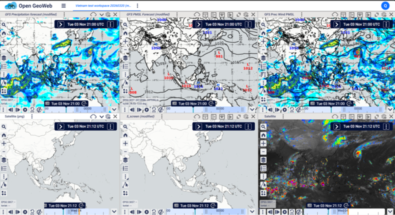
In Viet Nam, coastal areas are frequently exposed to various hazardous natural phenomena, including tropical cyclones, strong offshore winds, high waves, and storm surges. In forecasting operations, data from numerical models, satellites, radar and observation systems play an important role in monitoring and identifying the development of hazardous weather events. By integrating and displaying multiple information sources in a single interface, OpenGeoWeb helps forecasters analyze and assess weather conditions and prepare forecasts and warnings.
Regarding input data, the system supports various formats and connection methods, as well as the extraction and analysis of data through specialized charts. Users can extract time series to track changes in meteorological and oceanographic parameters over time. They can also generate vertical profiles and sounding charts at any given coordinates. These functions support the analysis of atmospheric structures and the development of weather conditions in specific areas.
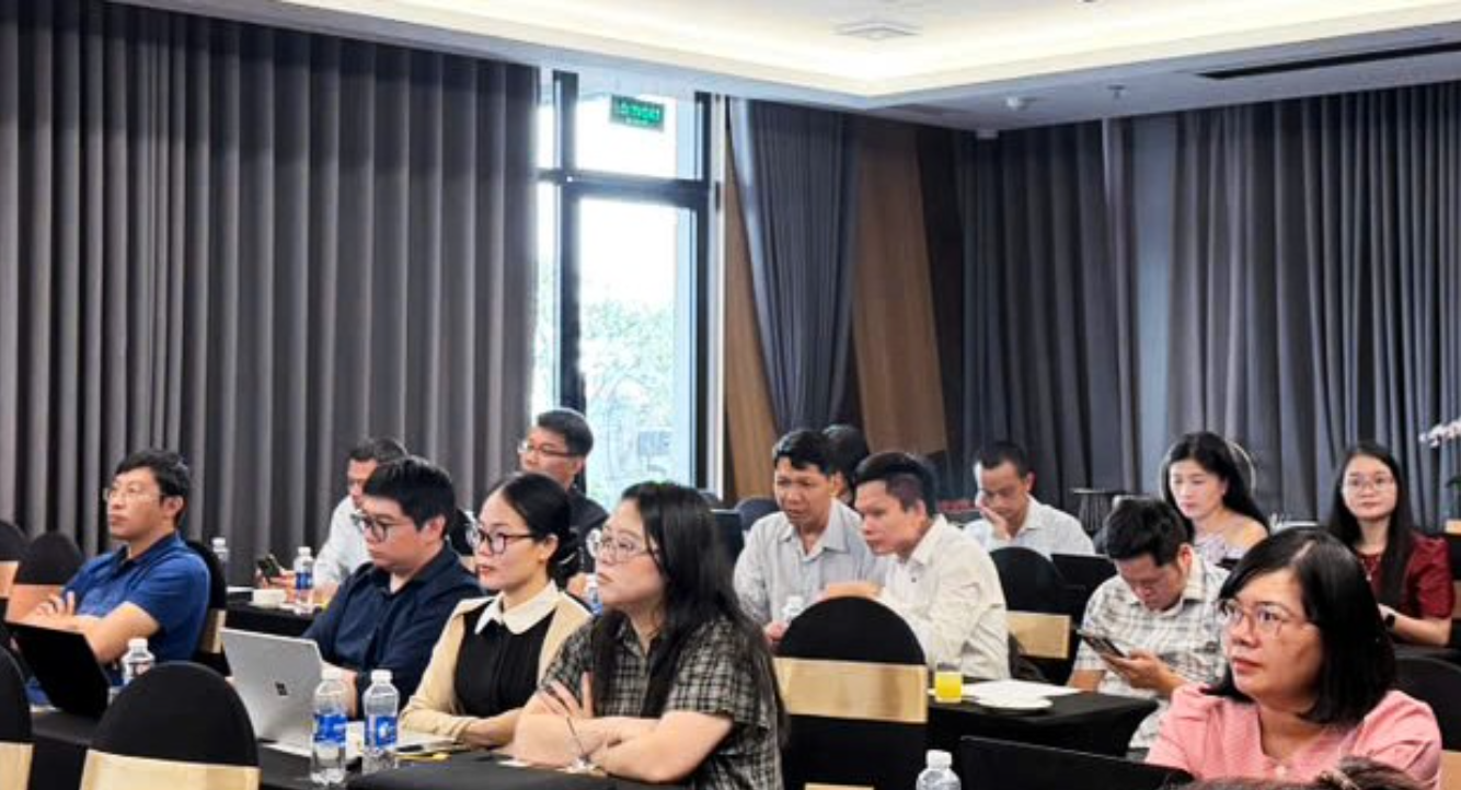
During the workshop, international experts provided participants with training on OpenGeoWeb's functions, ranging from basic to advanced features, helping them become familiar with organising, accessing and analysing data for forecasting purposes. According to the experts, the platform is expected to improve forecasting accuracy and enhance preparedness in predicting and warning of coastal and marine natural disasters.
A representative of the Norwegian Meteorological Institute said OpenGeoWeb would continue to be upgraded with additional features to expand its data integration and advanced analytical capabilities. The aim is to further develop the platform into a unified system, enabling forecasters to access, monitor, analyze and compare meteorological and oceanographic information more conveniently.
The continued development and application of OpenGeoWeb, tailored to professional requirements, is expected to improve the quality and responsiveness of marine and coastal weather forecasting and early warning services in Viet Nam.
The 2026 Marine Weather Workshop took place from 2-4 November, bringing together international experts, scientists and meteorological and hydrological forecasters. The event was held as part of efforts to implement the Memorandum of Understanding on Enhancing Weather Forecasting Capacity and Climate Services, signed in November 2023 between the Viet Nam Meteorological and Hydrological Administration and the Norwegian Meteorological Institute, with support from the Norwegian Agency for Development Cooperation (NORAD) and the Norwegian Embassy in Viet Nam.
Khanh Ly