Speaking at the workshop “New Technologies in Disaster Forecasting and Early Warning,” held on March 18 and co-organized by Viet Nam Agriculture and Nature News, the Viet Nam Meteorological and Hydrological Administration (VNMHA), and the Community-Based Disaster Prevention Fund, Associate Professor Dr. Ha Hai Duong, representing the Institute of Water Resources Planning and Environmental Engineering (Viet Nam Academy for Water Resources), said drought is no longer a temporary water shortage but an increasingly persistent risk affecting every production cycle, river flow, and community livelihood.
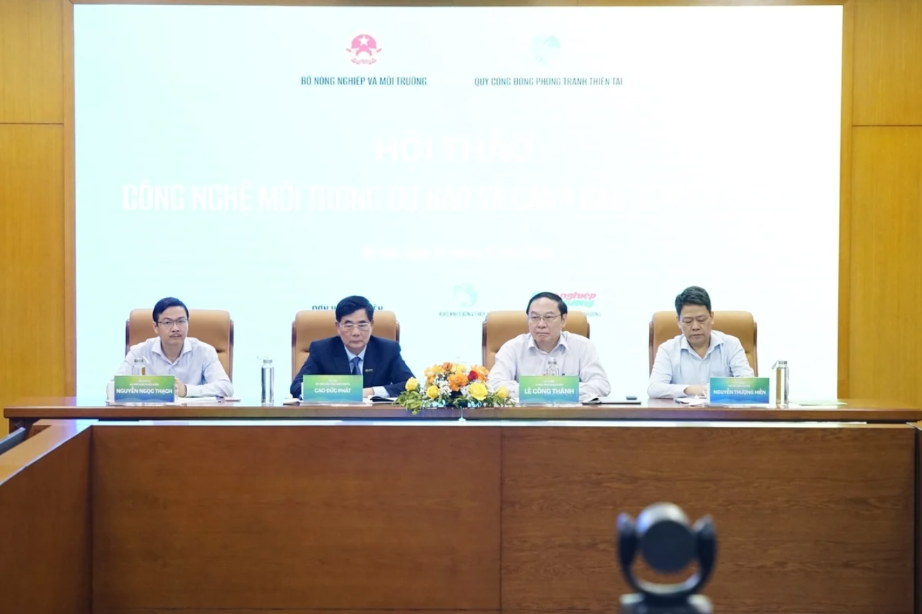 Leaders from the Ministry of Agriculture and Environment, the Department of Meteorology and Hydrology, the Vietnam Agriculture and Nature Newspaper, and the Community Fund for Disaster Prevention chaired the workshop "New Technologies in Disaster Forecasting and Early Warning". Photo: Trung Hieu.
“Severe drought periods such as 2014-2016 and 2019-2020 not only depleted rivers and reservoirs but also exposed the fact that our responses remain reactive, lacking forecasting tools that are early and deep enough to enable proactive adaptation,” Duong said.
From this reality, he argued for a fundamental shift from “disaster management” to “disaster risk management.” This means not waiting until drought occurs to respond, but instead monitoring, identifying risks early, and making operational decisions from the outset of a production season, even before clear signs of drought emerge.
In this context, technology, particularly remote sensing and AI, is opening up an entirely new approach. Rather than relying on scattered measurements at a few locations, modern systems can “observe” vast spatial areas, from entire regions to individual river basins and reservoirs. Satellite imagery enables continuous monitoring of rainfall, soil moisture, surface temperature, and even crop growth conditions. When integrated and processed through mathematical models and machine learning algorithms, these data form a near real-time picture of water resources.
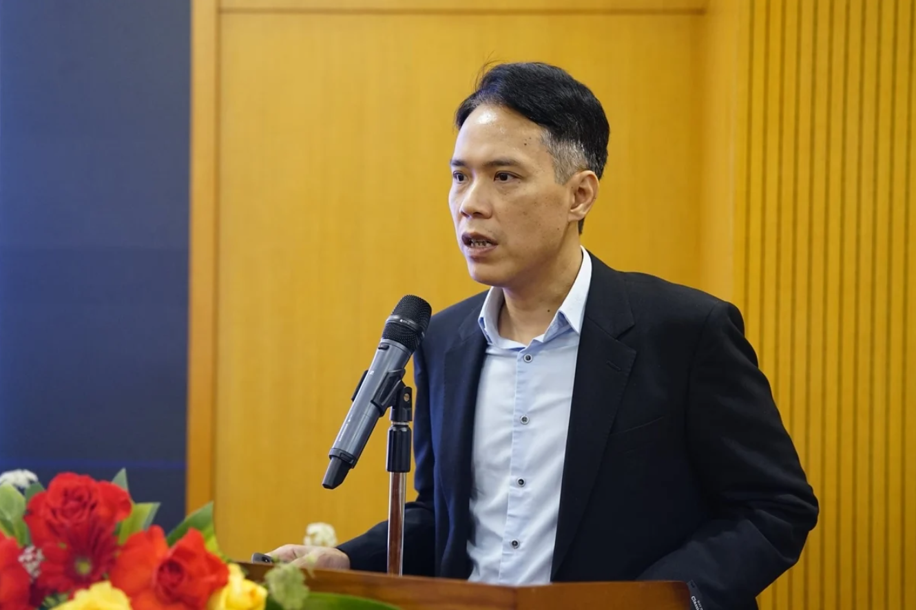 Associate Professor Dr. Ha Hai Duong shared his insights on monitoring and forecasting water resources to respond to droughts based on remote sensing imagery and AI technology. Photo: Trung Hieu.
Duong noted that indicators such as the Standardized Precipitation Index (SPI), the Standardized Runoff Index (SRI), and soil moisture levels are becoming the “language” for interpreting drought conditions. By tracking these indicators over different time scales, one month, three months, six months, managers can detect early trends of water scarcity and adjust production plans and water allocation more effectively.
Notably, modern monitoring systems go beyond observation to enable forecasting. By combining global climate data, regional models, remote sensing inputs, and AI algorithms, water resource forecasts can now be generated across multiple time horizons, from short-term (weeks) to medium-term (months) and seasonal outlooks. This capability is particularly critical for agriculture, where decisions on planting or crop conversion depend heavily on anticipated water availability.
“Beyond forecasting, decision-support systems can answer highly practical questions, such as how much area can be cultivated with available water, which zones should be prioritized, or how reservoirs should be operated to ensure both supply and safety. These insights bridge science and practice, allowing managers and farmers to act based on clear evidence rather than guesswork,” Duong said.
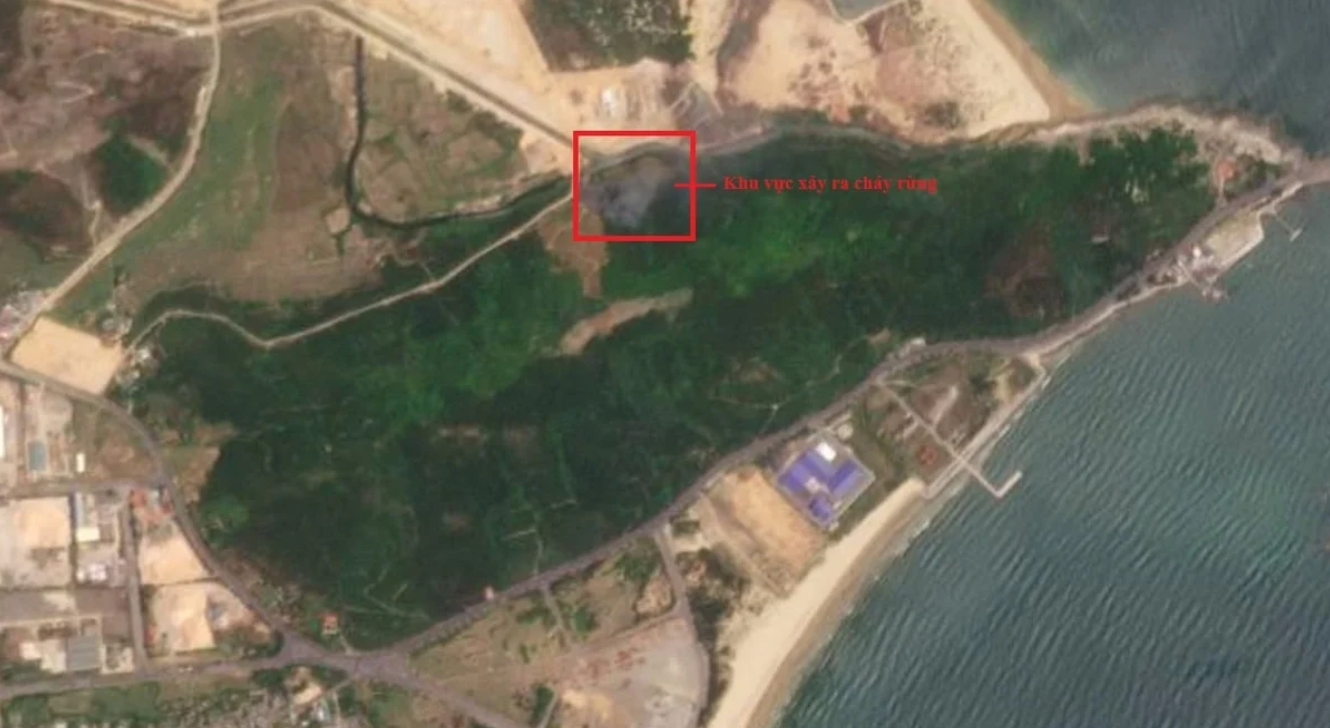 Monitoring forest fires using remote sensing technology. Photo: Department of National Remote Sensing.
However, he acknowledged that significant challenges remain. Current tools are still fragmented, data systems are not yet fully integrated, and the demand for processing large volumes of information in near real time is growing rapidly. Technological infrastructure, data storage and analytics capacity, and skilled IT human resources remain key bottlenecks.
Still, from a more optimistic perspective, Duong said these challenges also present an opportunity to accelerate digital transformation in water resource management. As systems become more integrated, data more widely shared, and technologies such as remote sensing, AI, and IoT more effectively deployed, monitoring and forecasting water resources will no longer be confined to scientists but will become an essential component of production management and sustainable development.
In this transition, data is expected to move more seamlessly across sectors, from meteorology and hydrology to agriculture, energy, and urban planning, enabling more coordinated and informed decision-making. Real-time information, combined with predictive analytics, can support authorities in adjusting reservoir operations, optimizing irrigation schedules, and preparing for extreme events well in advance. For farmers and businesses, access to timely and localized forecasts can reduce uncertainty, improve resource efficiency, and strengthen resilience to climate shocks.
Over time, such an integrated system could evolve into a continuous, adaptive management framework—one that not only responds to risks but anticipates them. By embedding data-driven insights into everyday operations, Viet Nam would be better positioned to balance water security, economic development, and environmental sustainability in an increasingly volatile climate.