On the morning of October 30, in Hanoi, the Department of Crop Production and Plant Protection in collaboration with the International Rice Research Institute (IRRI) organized an Expert Consultation Conference on Soil nutrient maps to support soil health management.
The activity is part of the "Fertilize Right" (FerRight) Project funded by the United States Department of Agriculture (USDA), aiming to apply information technology to soil nutrient management, towards sustainable rice cultivation, increasing fertilizer use efficiency and reducing greenhouse gas emissions.
According to Dr. Robert Caudwell, Chief Representative of IRRI Vietnam Office, the Soil Nutrient Map provides a lot of information about the nutrient content in the soil, built on field survey data, laboratory analysis results and spatial modeling using GIS and machine learning technologies. This map includes many different data layers, each layer represents a nutrient index of the soil. Users can look up nutrient information according to specific geographic locations.
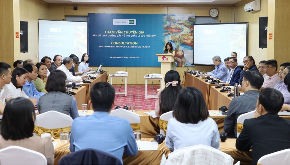 Panorama of the Expert Consultation Conference on "Soil nutrient maps to support soil health management". Photo: Phuong Linh.
The IRRI team, together with partners, including colleagues from the Institute of Soils and Fertilizers, developed this map to provide users with information on the nutrient properties of rice soils at specific locations. We believe that the map will be a useful tool to help farmers, extension officers and managers better understand soil health, and thereby have appropriate land use measures and effective crop management.
Sharing about the research methods and results, Dr. Tran Minh Tien - Director of the Institute of Soil and Fertilizer, Vietnam Academy of Agricultural Sciences, said that researchers have built digital maps from thousands of soil samples collected in the provinces of Hung Yen, Hai Phong, Ninh Binh, Can Tho and Dong Thap. Agricultural extension officers and farmers only need to enter coordinates or select a location on their phones or computers to immediately know the nutritional status of their fields. This is the data platform for applying RCM to make accurate fertilizer recommendations, serving the work of optimal nutrient management in rice cultivation.
The FerRight project will be implemented from 2024 to 2027 in five key provinces: Hung Yen, Hai Phong, Ninh Binh (representing the Red River Delta) and Can Tho, Dong Thap (representing the Mekong Delta). The project aims to improve fertilizer efficiency, increase farmers' income and reduce greenhouse gas emissions in rice production.
The soil nutrient map and the RCM application are both important technological products of the project, forming a complete support system for farmers. The map provides information on soil conditions, and the RCM uses that information in combination with other factors to make specific recommendations on the appropriate type, dosage and timing of fertilizer application.