On the morning of May 20 in Hanoi, Deputy Minister of Agriculture and Environment Nguyen Thi Phuong Hoa chaired a meeting of the drafting team for the amended Decree on Remote Sensing, revising and supplementing several articles of Decree No. 03/2019/ND-CP.
Speaking at the meeting, the Deputy Minister emphasized that amending the Decree is an urgent requirement in the context of rapidly advancing science and technology and the increasingly important role of remote sensing in resource management, environmental protection, climate change response, national defense and security, and socio-economic development.
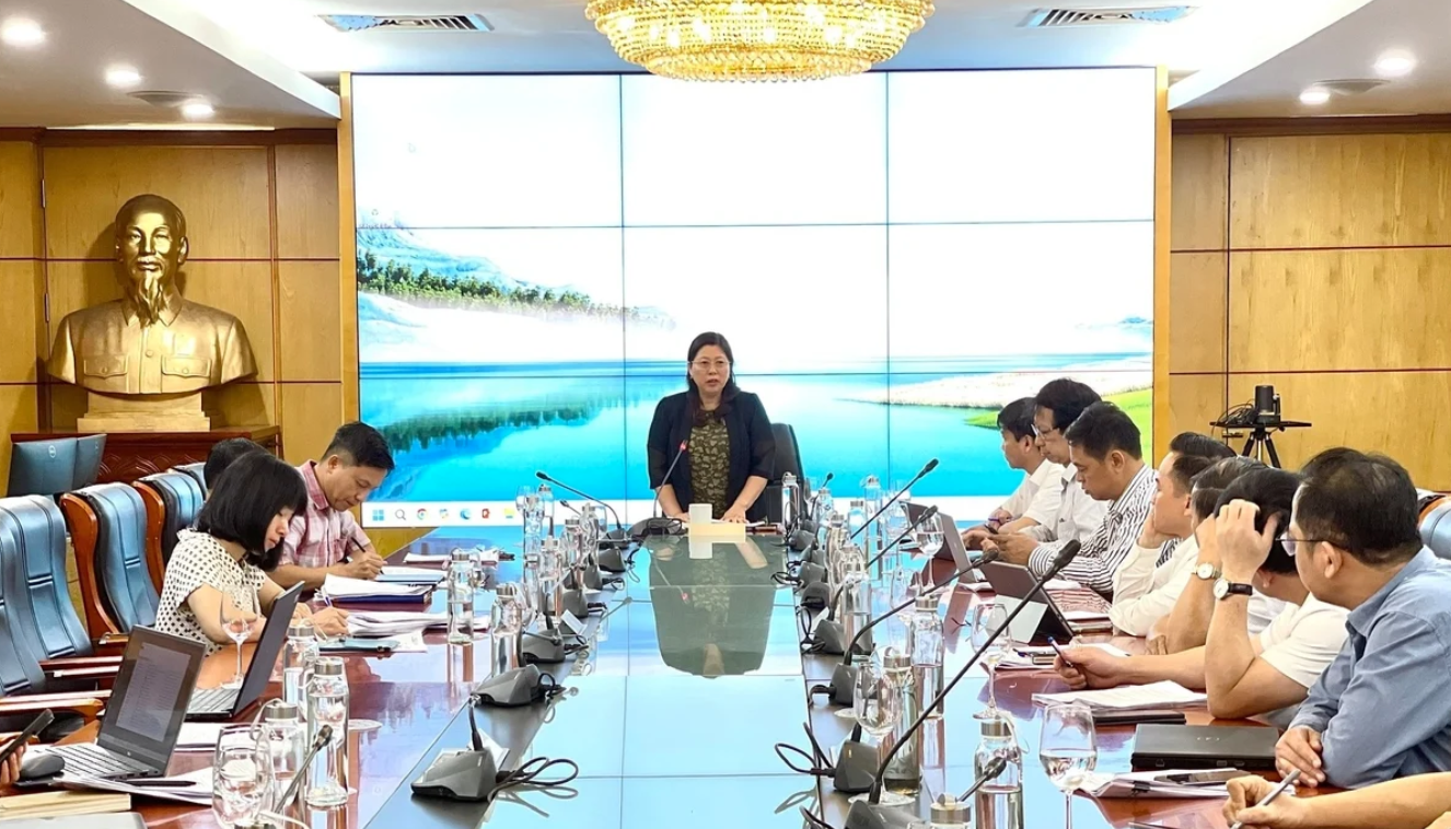 Deputy Minister of Agriculture and Environment Nguyen Thi Phuong Hoa chaired a meeting of the drafting team for the amended Decree on Remote Sensing, revising and supplementing several articles of Decree No. 03/2019/ND-CP. Photo: Nguyen Thuy.
 According to Mr. Tran Tuan Ngoc, Director General of the National Remote Sensing Department, the draft incorporates many new updates aligned with major national policies such as Resolution 57-NQ/TW on innovation, Decision 169/QD-TTg on the development of space science and technology, and Resolution 06/NQ-CP on climate change response. The draft includes resource and disaster monitoring provisions, the development of spectral libraries and image interpretation keys, remote sensing product quality management, and open data for research and application purposes.
Notably, for the first time, the draft introduces specific regulations on the launch, operation, and decommissioning of remote sensing satellites, clearly defining the responsibilities of managing authorities, technical incident response, and international obligations. It also enhances regulations on data management and information sharing in remote sensing, contributing to legal clarity, transparency, and interoperability among agencies.
The draft also provides clearer provisions on public remote sensing services, administrative procedures, data access fees, and cases where data may not be provided—ensuring practicality and alignment with real-world implementation. Provisions related to state management responsibilities, reporting procedures, and technical terminology have also been revised to align with the current legal framework.
Deputy Minister Nguyen Thi Phuong Hoa requested that the drafting team continue to gather feedback to ensure the Decree is practical, highly feasible, and does not overlap with specialized laws. She emphasized that the drafting process should mobilize collective intelligence, consult experts and relevant agencies, and establish a transparent and stable legal framework that promotes the strong development of the remote sensing sector, contributing to the national digital transformation process.