The National Remote Sensing Department has submitted a proposal to the Ministry of Agriculture and Environment titled “Promoting the Application of Remote Sensing and Artificial Intelligence in Building Monitoring Systems for Agriculture and the Environment to Support Green Growth and Sustainable Development.”
Accordingly, from 2026, the monitoring system will be developed by integrating modern technologies such as artificial intelligence, big data, the Internet of Things, and cloud computing. The goal is to enhance decision-making capacity and enable faster, more accurate governance, in line with the national digital transformation strategy.
Vietnam has already developed a national remote sensing database with nearly 100,000 satellite images collected from 16 different sources, including VNREDSat-1, SPOT6, Worldview, and Landsat. These images have resolutions ranging from 0.55m to 30m and a revisit time of 2.5 to 5 days, covering Vietnam's entire territory and sea areas. The data volume grows steadily by about 20% per year and supports multiple sectors, including agriculture, the environment, defense, and security.
Currently, remote sensing technology has been effectively applied in Vietnam in many areas such as disaster warning, forest change monitoring, land subsidence surveillance, land inventory, and greenhouse gas emission tracking. For example, during Typhoon Yagi in September 2024, the Sentinel Asia system promptly provided satellite data to support rescue efforts and emergency response coordination.
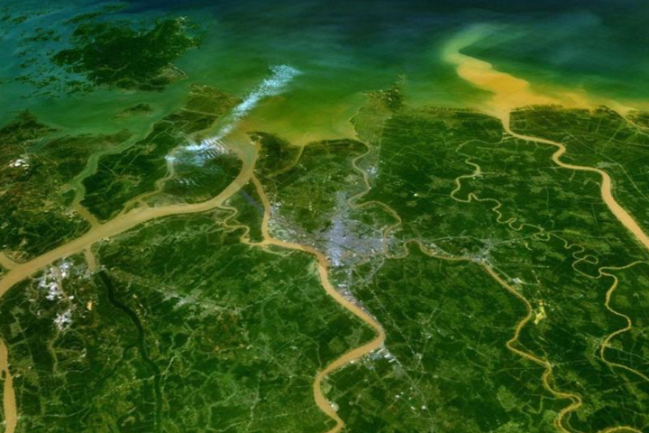 Satellite remote sensing imagery supports monitoring of forest area changes and flood risk.
Remote sensing has been used in agriculture for forest planning surveys, crop mapping, and aquaculture area monitoring. It is also applied in monitoring natural disasters and climate change events such as droughts, floods, landslides, storm damage, greenhouse gas emissions, coastal erosion, and water resource management.
Remote sensing was first applied in Vietnam over 40 years ago in forestry to conduct forest planning and create forest status maps. This technology enables monthly deforestation monitoring and provides biomass information for carbon accumulation surveys.
For rice cultivation, Vietnam uses remote sensing to monitor seasonal area distribution and yield, estimate biomass and harvest output, observe stubble burning, track planting schedules and growth stages, and assess the impacts of salinity, drought, and flooding on rice production. It also helps estimate methane emissions from rice fields and monitor pest, nutrient, and seed conditions.
Since 2018, monthly remote sensing products have been provided to the Agricultural Digital Transformation and Statistics Center and the Department of Crop Production to support production coordination in localities across the Mekong Delta.
In disaster prevention, remote sensing tracks flooding in the Mekong Delta and monitors storm-induced flooding in Central Vietnam using radar imagery, which works in all weather conditions. It also supports monitoring surface conditions such as temperature, moisture, evaporation, and drought indices.
Additionally, the Vietnam Academy of Science and Technology has researched many remote sensing products, including shoreline changes, coastal erosion, water quality assessment, land use mapping, and aquaculture zone delineation.
There is now growing demand across other sectors for remote sensing applications. For example, the fisheries sector requires daily data on fishing vessel activity, especially in overlapping maritime zones. For aquaculture, it needs to monitor farm area changes, assign farming zone codes, and guide farming practices. Satellite imagery is also required to observe marine ecosystems and coral reefs to develop conservation and management strategies. Moreover, remote sensing is used to forecast fishing grounds for fishermen.
The water resources sector also proposes using remote sensing for river monitoring and water source forecasting. The sector seeks to integrate remote sensing with other technologies to address challenges such as calculating actual reservoir capacities, forecasting flow and rainfall, and balancing water supply across regions.